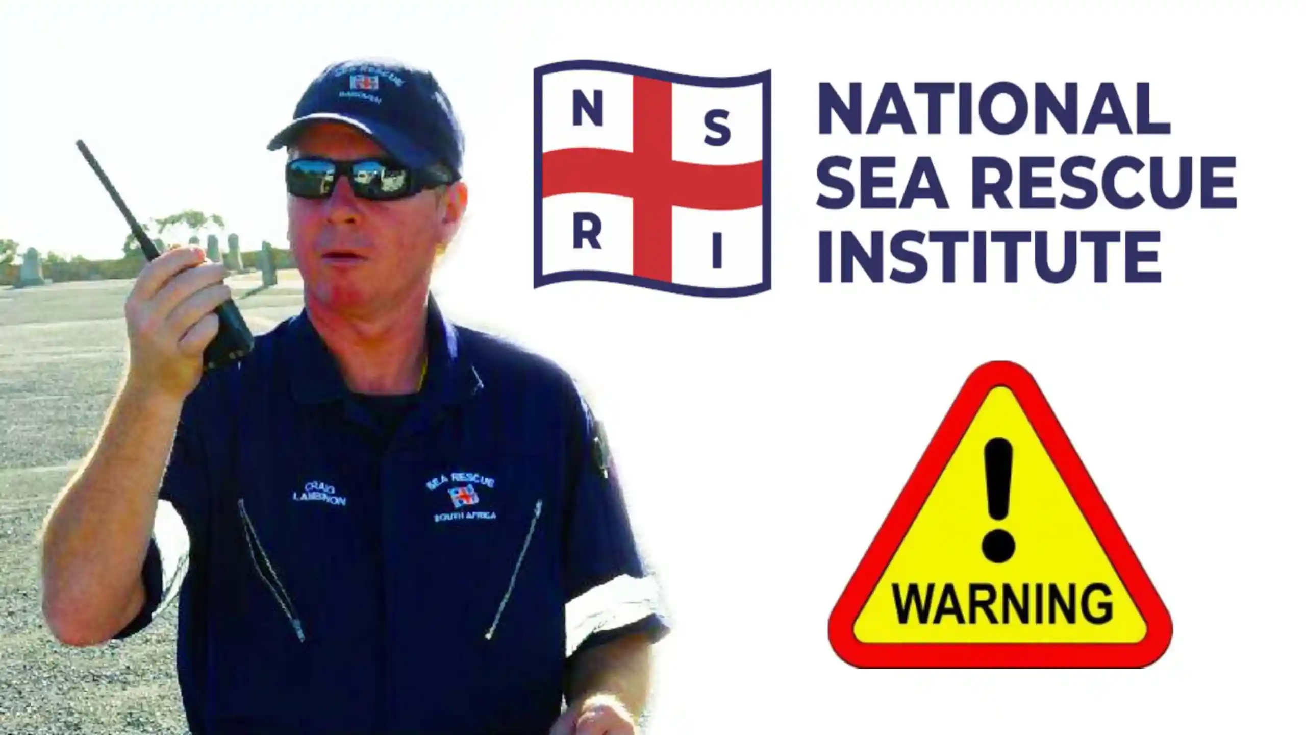
NSRI Winds and Waves Advisory – Incoming by Craig Lambinon
NSRI Winds and Waves Advisory – Incoming by Craig Lambinon: if my mate Craig at the NSRI thinks it’s time to issue a warning, best we take heed.
Thanks Craig and over to you…
Craig Lambinon NSRI Spokesperson Wednesday June 25th NSRI Police and the emergency services are appealing to the maritime community shoreline anglers paddlers sailors and coastal walkers hikers to be cautious during this cold front currently being experienced around the south Western Cape coastline on Wednesday and spreading to the Southern Cape and East Coast in places The South African Weather Services have issued alerts forecasting high winds heavy sea conditions with waves of 4 to 6 meters rough sea conditions are being experienced we are appealing to the public and the maritime community to follow the South African Weather Services forecast and to exercise caution during this time don’t venture down to the coastline or launch to go to sea unless absolutely necessary commercial seafarers sailors and fishermen wear your life jackets at sea during this time and exercise caution
You can also download our app to your phone or device, accept notifications, and you will never miss a single sardine.
Last year we started to log more whale and dolphin sightings. And we even had a shipwreck! This year we have had two sailboat incidents already. PLUS, we have already logged some sardines! And a UFO!
Here are the links to existing and past Sardine Sighting Maps…
Weather forecasting has become a sophisticated science, thanks to advanced weather models. However, the accuracy of these models can vary, leading to different forecasts from services like Windguru, Windy, the South African Weather Service (SAWS), and Tides 4 Fishing.
Choose your Weather Forecasting Model Carefully
Windguru: Windguru is popular among wind sports enthusiasts for its detailed wind forecasts. It uses models like the Global Forecast System (GFS), Weather Research and Forecasting (WRF), and the High-Resolution Limited Area Model (HIRLAM). While these models provide valuable data, their predictions can sometimes differ, causing confusion for users.
Windy: Windy offers a visually appealing platform with multiple weather models, including the European Centre for Medium-Range Weather Forecasts (ECMWF), GFS, ICON, and NAM. The ability to switch between models is useful, but it also highlights the discrepancies between them. Users often find themselves comparing forecasts to get a more accurate picture.
South African Weather Service (SAWS): SAWS relies on the Unified Model, developed with the UK Met Office. This model provides high-resolution forecasts for Southern Africa. Despite its sophistication, the Unified Model’s predictions can still vary from other models, leading to different weather outlooks.
But like ANY ANC-led government service, this is today’s screen…
Not a very good weather forecasting model at all
And so I got the synoptic chart image from Kobus Botha’s Weather Photos page. An absolutely brilliant piece of portal work gathering all kinds of weather imagery and chart data,
Tides 4 Fishinhttps://tides4fishing.comg: Tides 4 Fishing combines tidal data with weather forecasts from models like GFS and ECMWF. While this blend is useful for anglers, the varying predictions from different models can make it challenging to plan fishing trips accurately.
The Synoptic Chart Advantage: Given the inconsistencies between weather models, a good old synoptic chart can often be more reliable, especially when combined with local knowledge and experience. Synoptic charts provide a broad overview of weather systems, helping to identify patterns and trends that models might miss. Local knowledge adds another layer of accuracy, as residents understand the nuances of their region’s weather.
This is NOT from SAWS. This is from Kobus Botha Weather – a fantastic site to gain your own perspectives and insights.
In conclusion, while advanced weather models offer valuable insights, they can produce different forecasts, leading to uncertainty. A synoptic chart, mixed with local expertise, remains a powerful tool for accurate weather prediction.
Weather Forecasting Models
Global Forecast System (GFS): Developed by the National Centers for Environmental Prediction (NCEP) in the United States, GFS is a widely used global weather model that provides forecasts up to two weeks in advance.
European Centre for Medium-Range Weather Forecasts (ECMWF): Known for its high accuracy, ECMWF provides detailed medium-range forecasts up to two weeks ahead and is renowned for its ensemble prediction system.
ICON (Icosahedral Nonhydrostatic): Developed by the German Weather Service (DWD), ICON is a global model that offers high-resolution forecasts and is used for both weather and climate predictions.
UK Met Office Unified Model (UKMO): This model provides high-resolution forecasts for the UK and surrounding regions and is known for its accuracy in predicting severe weather events.
High-Resolution Rapid Refresh (HRRR): A short-term, high-resolution model used primarily in the United States for predicting severe weather events.
North American Mesoscale (NAM): A regional model that provides short-range forecasts for North America, focusing on severe weather and mesoscale phenomena.
Global Environmental Multiscale Model (GEM): Developed by Environment Canada, GEM provides high-resolution forecasts for Canada and the surrounding regions.
ARPEGE: A global model developed by Météo-France, ARPEGE provides medium-range forecasts and is known for its high-resolution output.
Ocean Forecasting Models
HYCOM (Hybrid Coordinate Ocean Model): Used by the U.S. Navy, HYCOM provides global ocean forecasts and is known for its high-resolution and accurate predictions.
NEMO (Nucleus for European Modelling of the Ocean): A widely used ocean model that provides forecasts for various regions, including the Arctic and North Atlantic.
OceanMAPS: Developed by the Australian Bureau of Meteorology, this model provides high-resolution ocean forecasts for the Australian region.
ECCO (Estimating the Circulation and Climate of the Ocean): A global ocean data assimilation system that provides high-resolution ocean forecasts and reanalyses.
BRAN (Bluelink Reanalysis): An ocean model developed by the Australian Government, providing high-resolution forecasts for the Australian region.
FOAM (Forecasting Ocean Assimilation Model): Developed by the UK Met Office, FOAM provides high-resolution ocean forecasts for the North Atlantic, Indian Ocean, and Mediterranean.
These models are crucial for accurate weather and ocean forecasting, helping us plan our activities, prepare for severe weather events, and understand the dynamics of our planet. While each model has its strengths, combining their outputs with local knowledge and experience can provide the most reliable forecasts.
: Meteosource : Meteologix : National Weather Service : Ocean Predict : Ocean Predict
What you really have to watch out for, however, is that people are 10 to 100 times more inclined to click on a weather warning than a normal post. So as an advertising medium that earns money from clicks, it would be tempting to say the least, not to post any good news. To choose the model that suits your sinister cash driven motivations. Keep them coming back by posting bad weather news.
This has been happening and has been wreaking havoc with travel bookings worldwide.
Everybody out to make a buck!
Sardines and Sighting Maps
It has been a fantastic sardine run this memorable 2024. And all the action has been logged right here on The Sardine News. This year’s map has been viewed 195,000 times and just keeps growing.
Which led us to decide to keep the map live. And keep adding unique marine animal sightings and events. That occurs non-stop all year round. This year we started to log more whale and dolphin sightings. And we even had a shipwreck! And a freaking tornado! And recently a capsized KZNSB boat! We have been updating the map with recent catches too…
These events will from now on be included in the Sardine News Sightings Map for 2024. And on the 1 January 2025, we shall start all over again.
Here are the links to existing and past Sardine Sighting Maps. Great for a windy day like today to research. With instructions to install The Sardine News right on your phone or desktop.
Monday More Fun Day for KZN Surfers by Adam Kamdar in Surf City
Monday More Fun Day for KZN Surfers by Adam Kamdar in Surf City: Welcome back to the sardine news. We have Adam Kamdar checking from what has turned out to be another surfing day in KZN and Durban in particular.
Over to Adam Kandar at North Beach in Surf City…
Durban
Monday More Fun Day for Surfers in KZN by Adam Kamdar on the Spot at North Beach in the famous Surf City that is Durban in South Africa.
Good time to be a surfer as the swell promises to build all day long. And reach a massive pulse tomorrow. Up to 5 meters at the crack of dawn! Obviously for this time of the year, the wind has agreed to join the party and will be cranking through at an enormous rate of knots.
SW
Gusts of up to 40 knots, which equates to like 80kmh, will punctuate the strong south-westerly tomorrow too. It looks to be at least 15 or 20 knots all day long. Only backing off on Tuesday night.
NE
The northeaster is plotting its big comeback from Wednesday morning and into Thursday all day. It’s gonna come charging in as early as it can, and will steadily build all day long reaching a maximum of about 15 knots in the afternoon.
With a low tide at 8:45am on Wednesday, that morning is going to produce the goods for any surfers who can make it out through that pounding surf. Before the NE makes it too bumpy.
And although Durban will get some SW juice that day, it will be nothing like what the south and north coasts will look like that morning. Lines to the horizon and light winds until the tide turns. As the tide turns from low to high water moving in – that’s about when the onshore NE will start to pick up. Before that, the tide will be draining fast and little offshores will spring up all over to compensate for the fast-receding water and therefore air pressure. As the tide drains, it sucks air off the land to create those regional and sporadic offshores, in the face of prevailing high pressure systems. The east ruins this quicksmart so you got to get in early as possible in these situations.
Fishing
The fishing has been excellent everywhere. Kob and garrick making up for most of the excitement. With the odd handsome brushed in between. We will see exactly what fish are about with the Bear Report coming in later today. This valuable information will be posted right here on The Sardine News at around 5pm.
You can like and Subscribe to The Master Watermen on YouTube (if you click on the notification bell, you will be sent these reports on time). Check out the Master Watermen website at https://masterwatermen.co.za. The channel is at https://youtube.com/@UChzX1j2C3Qdj84Du_9X4YlQ.
If you are not subscribed to The Sardine News on YouTube you can do so right here…
(Please be careful not to Unsubscribe, if you are already subscribed.)
Gallery
Sardines n Sighting Maps
It has been a fantastic sardine run this memorable 2024. And all the action has been logged right here on The Sardine News. This year’s map has been viewed 185,000 times and keeps growing.
Which led us to decide to keep the map live. And keep adding unique marine animal sightings and events. That occurs non-stop all year round. This year we started to log more whale and dolphin sightings. And we even had a shipwreck! And a freaking tornado!
These events will from now on be included in the Sardine News Sightings Map for 2024. And on the 1 January 2025, we shall start all over again.
Here are the links to existing and past Sardine Sighting Maps. Great for a windy day like today to research. With instructions to install The Sardine News right on your phone or desktop.
Mannie Jorreiro tells all from Coffee Bay in the Deep Kei. Fishing and Surfing Report.
Mannie Jorreiro tells all from Coffee Bay in the Deep Kei. Fishing and Surfing Report.: Welcome back To the Sardine News. We are starting today off all the way down in Coffee Bay, deep Kei. Where Pro Fishing Guide Mannie Jorreiro is on the beach every morning.
It’s so cool having a new Sardine Spy onboard! Mannie is right In the thick of it down in Coffee Bay. Mbomvu to be exact. Which is like right next door to Coffee Bay.
Mannie is a Pro Fishing Guide for the area so please consider getting in touch if you are headed to Coffee Bay or surrounds. We can arrange guided fishing trips and accommodation in the right places. Sean on +27793269671 or umzimkulu@gmail.com.
Mannie catches a lot of fish. Watch this space!
Over to Adam Kandar in Durban…
Durban
Adam greets the South Wind coming in at Durban today 7am 11 October 2024: Ok back in Durban we have a sneaky little pair of low pressures holding back the east today. Adam Kamdar is on the scene early and reports on an unruly ocean today.
But with plenty of potential for the weekend as indicators indicate low swells, low winds and sunny skies!
All you have to do is choose a beach!
Thank you Adam.
If you are not subscribed to The Sardine News on YouTube you can do so right here…
(Please be careful not to Unsubscribe, if you are already subscribed.)
Sharks Board Upside Down at Isipingo
Who needs protecting from who?
Sharks Board Capsize at Isipingo in rough seas this morning – but who was swimming anyway?
With the recent great white shark tail washing up on the rocks at St Mike’s on the KZN South Coast recently, the Kwazulu Natal Sharks Board once again put themselves under the spotlight.
And today, they capsized an expensive vessel. With five souls on board. On a day when nobody should be in or on the water.
Anybody following the Sardine Reports would know that the swell is an unruly 2m plus. The wind is ugly as hell onshore. These two factors combined means that nobody should go out there. For anything. Least of all to mesh shark nets that kill dolphins, whales and great whites. Tigers too. Turtles. Rays. This is a very long list and you can read all about it on the Sardine News.
4PM Scotties 11 Oct 24 Ocean Coming Right by Cliff Bamber Beach Report
Cliff rounds the day off very nicely indeed!
Sardines n Sighting Maps
It has been a fantastic sardine run this memorable 2024. And all the action has been logged right here on The Sardine News. This year’s map has been viewed 185,000 times and keeps growing.
Which led us to decide to keep the map live. And keep adding unique marine animal sightings and events. That occurs non-stop all year round. This year we started to log more whale and dolphin sightings. And we even had a shipwreck! And a freaking tornado!
These events will from now on be included in the Sardine News Sightings Map for 2024. And on the 1 January 2025, we shall start all over again.
Here are the links to existing and past Sardine Sighting Maps. Great for a windy day like today to research. With instructions to install The Sardine News right on your phone or desktop.
7AM Conditions Report for KZN 21 June 2024 by Adam Kamdar of Township Hyper
7AM Conditions Report for KZN 21 June 2024 by Adam Kamdar of Township Hyper: Adam is up and at it this beautiful KZN Winter morning…
?Good morning, guys. It’s 6:39am on Friday, the 21st of June. Here’s your tide chart for today. As you can see, we’re in the middle of the outgoing tide. Low tide should be in around three hours time. Your wind guru forecast shows moderate northerly winds becoming fresh northeasterly in the afternoon, with partly cloudy temperatures ranging from 18 degrees up to about 24 degrees.
This is the atmospheric pressure. Tides for fishing shows that it’s stable at 127 HPA. Your current data shows how widely it can fluctuate from day to day. Yesterday was almost 0. 7 meters per second. Today’s drop down to 0, 0. 1 meters per second. Next, we look at tides for fishing showing excellent fishing conditions today for one hour around sunrise and close to sunset.
And in the middle of the day, two hours before noon, fishing should really be on. Next we’ll move to your Durban view. And here’s the Durban scene. Absolutely gorgeous morning. There’s a bit of chop on the water from the northerly wind. This wind will freshen in the afternoon and become north easterly.
You can see how the flags are stiff in the breeze. The trees are wavering in the wind. That’s towards Blue Lagoon.
If you’re looking for sardines it should be around the Winkelspruit to Warner Beach area today. Just watch The Sardine News on social media to follow all the latest movements of the sardines.