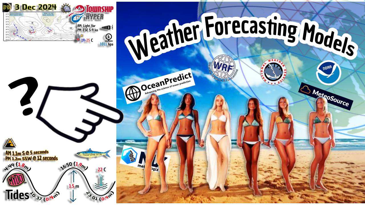
Weather Forecasting: The Battle of the Models
Weather forecasting has become a sophisticated science, thanks to advanced weather models. However, the accuracy of these models can vary, leading to different forecasts from services like Windguru, Windy, the South African Weather Service (SAWS), and Tides 4 Fishing.
Choose your Weather Forecasting Model Carefully
Windguru: Windguru is popular among wind sports enthusiasts for its detailed wind forecasts. It uses models like the Global Forecast System (GFS), Weather Research and Forecasting (WRF), and the High-Resolution Limited Area Model (HIRLAM). While these models provide valuable data, their predictions can sometimes differ, causing confusion for users.
Windy: Windy offers a visually appealing platform with multiple weather models, including the European Centre for Medium-Range Weather Forecasts (ECMWF), GFS, ICON, and NAM. The ability to switch between models is useful, but it also highlights the discrepancies between them. Users often find themselves comparing forecasts to get a more accurate picture.
South African Weather Service (SAWS): SAWS relies on the Unified Model, developed with the UK Met Office. This model provides high-resolution forecasts for Southern Africa. Despite its sophistication, the Unified Model’s predictions can still vary from other models, leading to different weather outlooks.
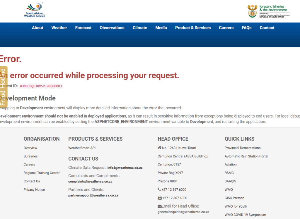
But like ANY ANC-led government service, this is today’s screen…

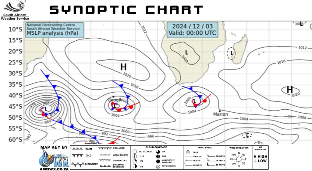
And so I got the synoptic chart image from Kobus Botha’s Weather Photos page. An absolutely brilliant piece of portal work gathering all kinds of weather imagery and chart data,
Click Kobus Botha Weather to get to his epic page of information.
Tides 4 Fishinhttps://tides4fishing.comg: Tides 4 Fishing combines tidal data with weather forecasts from models like GFS and ECMWF. While this blend is useful for anglers, the varying predictions from different models can make it challenging to plan fishing trips accurately.
The Synoptic Chart Advantage: Given the inconsistencies between weather models, a good old synoptic chart can often be more reliable, especially when combined with local knowledge and experience. Synoptic charts provide a broad overview of weather systems, helping to identify patterns and trends that models might miss. Local knowledge adds another layer of accuracy, as residents understand the nuances of their region’s weather.

In conclusion, while advanced weather models offer valuable insights, they can produce different forecasts, leading to uncertainty. A synoptic chart, mixed with local expertise, remains a powerful tool for accurate weather prediction.
Weather Forecasting Models
- Global Forecast System (GFS): Developed by the National Centers for Environmental Prediction (NCEP) in the United States, GFS is a widely used global weather model that provides forecasts up to two weeks in advance.
- European Centre for Medium-Range Weather Forecasts (ECMWF): Known for its high accuracy, ECMWF provides detailed medium-range forecasts up to two weeks ahead and is renowned for its ensemble prediction system.
- ICON (Icosahedral Nonhydrostatic): Developed by the German Weather Service (DWD), ICON is a global model that offers high-resolution forecasts and is used for both weather and climate predictions.
- UK Met Office Unified Model (UKMO): This model provides high-resolution forecasts for the UK and surrounding regions and is known for its accuracy in predicting severe weather events.
- High-Resolution Rapid Refresh (HRRR): A short-term, high-resolution model used primarily in the United States for predicting severe weather events.
- North American Mesoscale (NAM): A regional model that provides short-range forecasts for North America, focusing on severe weather and mesoscale phenomena.
- Global Environmental Multiscale Model (GEM): Developed by Environment Canada, GEM provides high-resolution forecasts for Canada and the surrounding regions.
- ARPEGE: A global model developed by Météo-France, ARPEGE provides medium-range forecasts and is known for its high-resolution output.
Ocean Forecasting Models
- HYCOM (Hybrid Coordinate Ocean Model): Used by the U.S. Navy, HYCOM provides global ocean forecasts and is known for its high-resolution and accurate predictions.
- NEMO (Nucleus for European Modelling of the Ocean): A widely used ocean model that provides forecasts for various regions, including the Arctic and North Atlantic.
- OceanMAPS: Developed by the Australian Bureau of Meteorology, this model provides high-resolution ocean forecasts for the Australian region.
- ECCO (Estimating the Circulation and Climate of the Ocean): A global ocean data assimilation system that provides high-resolution ocean forecasts and reanalyses.
- BRAN (Bluelink Reanalysis): An ocean model developed by the Australian Government, providing high-resolution forecasts for the Australian region.
- FOAM (Forecasting Ocean Assimilation Model): Developed by the UK Met Office, FOAM provides high-resolution ocean forecasts for the North Atlantic, Indian Ocean, and Mediterranean.
These models are crucial for accurate weather and ocean forecasting, helping us plan our activities, prepare for severe weather events, and understand the dynamics of our planet. While each model has its strengths, combining their outputs with local knowledge and experience can provide the most reliable forecasts.
: Meteosource : Meteologix : National Weather Service : Ocean Predict : Ocean Predict
www.meteosource.com
www.weather.gov
meteologix.com
oceanpredict.org
What you really have to watch out for, however, is that people are 10 to 100 times more inclined to click on a weather warning than a normal post. So as an advertising medium that earns money from clicks, it would be tempting to say the least, not to post any good news. To choose the model that suits your sinister cash driven motivations. Keep them coming back by posting bad weather news.
This has been happening and has been wreaking havoc with travel bookings worldwide.
Everybody out to make a buck!
