The Sardine News And Conditions Page
The Sardine News And Conditions Page: Welcome to our weather and ocean conditions page…starting with the news and then over to the fabulously talented Windy.com!
-
? Sardine News Morning Update: Shoals on the Move!
? Sardine News Morning Update: Shoals on the Move! What a morning it’s been along the South Coast — the HOTLINE has been buzzing nonstop! Things kicked off early at Orcas Beach (Anerley), where the first shoals were spotted streaming past in the dawn light. From there, the silver tide rolled up to Banana Beach,…
-

Sardine Update 18 July 2026 9am
Sardine Update 18 July 2026 9 am Sardine Update 18 July 2026 9 am: The bay at Port Edward was filled with fun yesterday afternoon, and we just received a report that it’s happening there again today. One net landed on the beach, but it was empty. Then all of a sardine, nets were deployed…
-
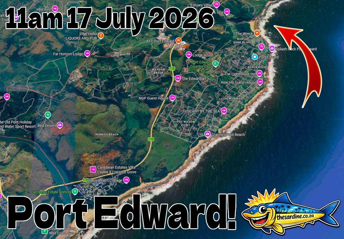
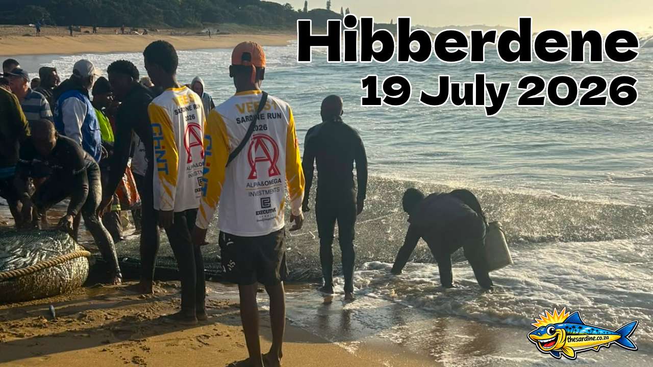
Sardine Mother Load Near Port Edward 11am 17 July 2026
Sardine Mother Load Near Port Edward 11am 17 July 2026 Sardine Mother Load Near Port Edward 11 am 17 July 2026: from a boat at sea, we have received video (and highly entertaining audio) proof of sardine life heading towards the main beach at Port Edward. Where netters are ready and waiting! One net already…
-
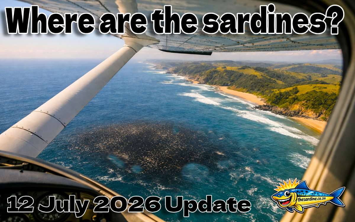
Where Are the Sardines? 12 July 2026 Update.
Where Are the Sardines? 12 July 2026 Update Where Are the Sardines? The last shoal we tracked was off Coffee Bay on July 10th, when Steve from Wildview and Karl from Rock Coffee Café sent in video reports. It was a massive biomass, but the fish were holding deep, scattered, and strangely without the usual…
-
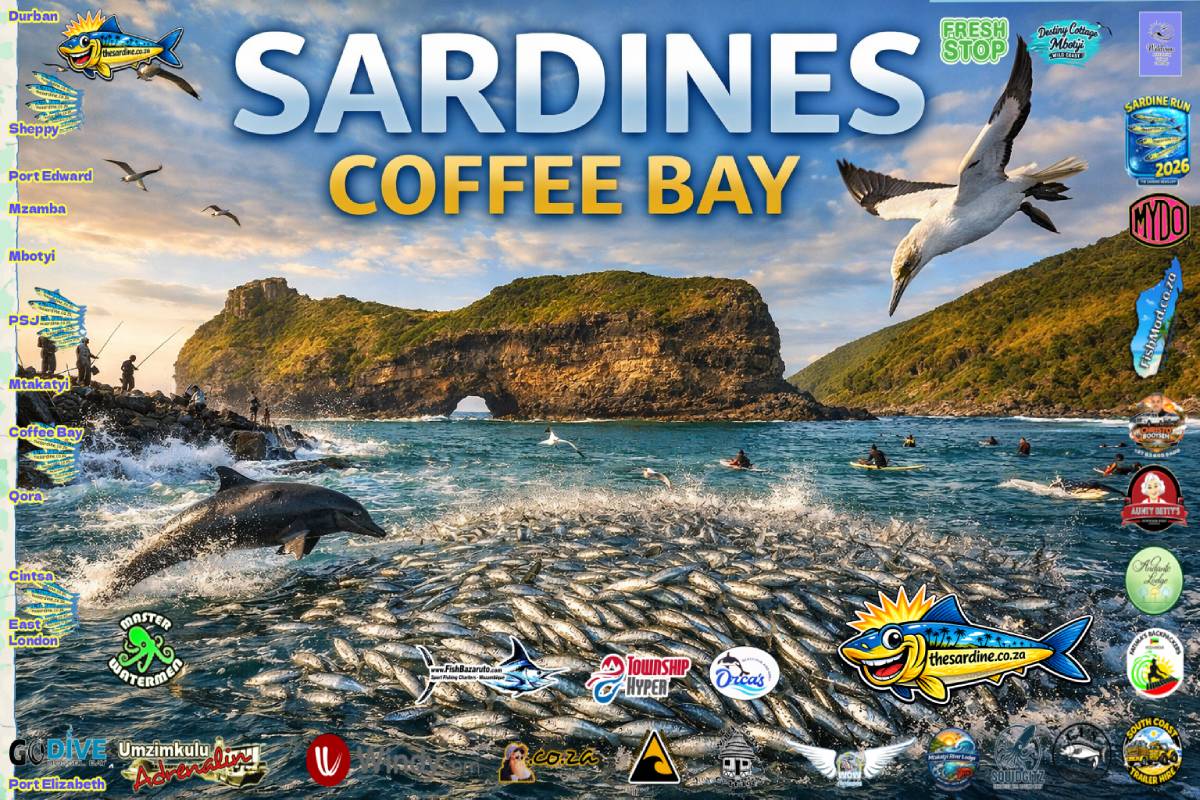
MORE Sardines Coffee Bay by Wildview 10 July 2026 #kzn #transkei #sardinerun2026 #sardinenews
MORE Sardines Coffee Bay by Wildview 10 July 2026 #kzn #transkei #sardinerun2026 #sardinenews MORE Sardines Coffee Bay by Wildview 10 July 2026 #kzn #transkei #sardinerun2026 #sardinenews: Coffee Bay on South Africa’s Wild Coast is buzzing with excitement as the annual sardine run brings shoals of silver fish close to shore. For locals and visitors alike,…
Conditions by Windy.com
First up we have the wind and weather, then the fabulous depiction of the ever-important Agulhas Current. And even a satellite image makes Windy.com the go-to website for weather, every time.
Waves and Weather Forecast
A HUGE thanks to source: Windy.com for licensing these embedded maps for us to use.
Moon and Tides
Sardines and Sighting Maps
Here are the links to existing and past Sardine Sighting Maps. With instructions on how to install The Sardine News right on your phone, tablet, or even desktop.
Channels
Brucifire Surf Retorts – highly entertaining surf reporting
Master Watermen – news from way down deep
The Sardine News – neva miss a single sardine
FishBazaruto – 1000 pounds plus
MYDO Tackle Talk – highly technical sport fishing
Surf Launching Southern Africa – getting out there safely
Water Woes – complain about your municipality here