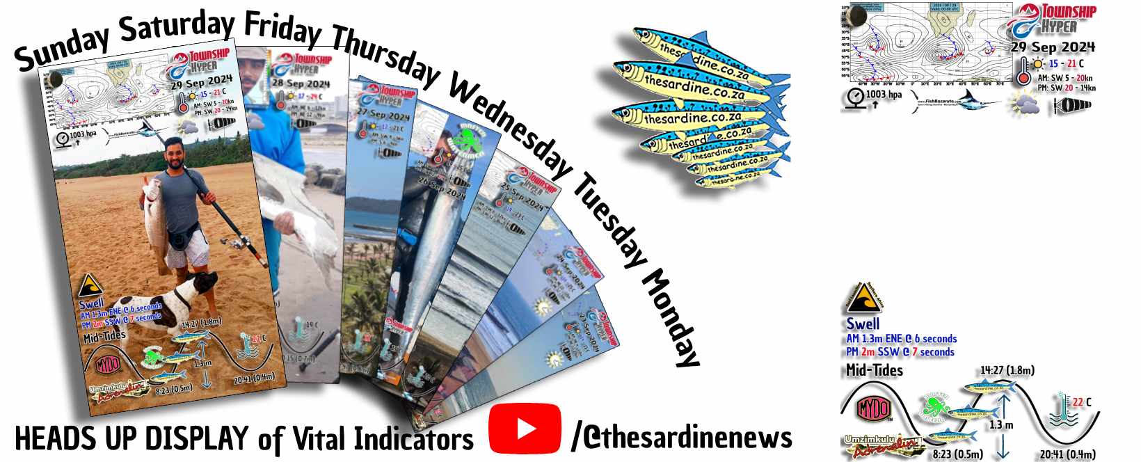
Beat the SW and Hit the Beach Now by Adam Kamdar on the Durban Beachfront #kzn #ocean #conditions
Beat the SW and Hit the Beach Now by Adam Kamdar on the Durban Beachfront #kzn #ocean #conditions: These weather predictors seem to be having a really hard time with their predicting. When they all first started out, they were soooooo accurate. We were planning surfing trips literally weeks in advance.
Nowadays?
Over to Adam…on the beautiful Durban Beachfront…where the wind is blowing but the sun is shining (for now)…as he aggregates all the currently available weather and wave data into this report…
Disclaimer: our reports are a combination of all the weather and wave data we can muster at that particular moment. We check all the different forecasters and models. Including government synoptic and satellite charts. And use the average. Plus some of our own intuition gathered since living here in Southern Africa for over half a century.
Back to the predictors…all of a sudden…most all of the predictors (selling advertising to get by) started predicting bad weather. And always in a week to 10 days or so. Then as we get closer, it changes back to what makes sense. This is because humans are up to 100 x more inclined to click on bad news. Trust me I run a news outlet and I have the figures for all to see.
There are many models available in every area that can be employed to conjure up a weather prediction. These models are used by the weather and wave predictors with which to make their product – a forecast. But these models can vary in their predictions.
Commercial online weather services like Windguru and Windy typically use a variety of weather prediction models to provide accurate forecasts. Here are some of the main models they might use:
- Global Forecast System (GFS): This is a global model run by the National Oceanic and Atmospheric Administration (NOAA) in the United States. It provides forecasts up to 16 days in advance1.
- European Centre for Medium-Range Weather Forecasts (ECMWF): Known for its accuracy, this model provides medium-range forecasts up to 10 days ahead1.
- High-Resolution Rapid Refresh (HRRR): This is a high-resolution model that provides short-term forecasts, updated hourly, and is particularly useful for predicting severe weather1.
- ICON (Icosahedral Nonhydrostatic): Developed by the German Weather Service, this model provides global forecasts with a high resolution1.
- NAM (North American Mesoscale): This model focuses on North America and provides detailed short-term forecasts1.
- AROME (Application of Research to Operations at Mesoscale): Used by Meteo-France, this model provides high-resolution forecasts for Europe1.
These models are often combined and compared to provide the most accurate and reliable weather forecasts possible. Each model has its strengths and is suited to different types of weather prediction, from global to very localized forecasts.
So it is very easy to just choose the model that shows the worst weather. And get a lot more clicks.
100 x more!
To combat this juggling of results, we have now included a current synoptic chart on all of our daily reports. Synoptic charts, although difficult to read, do not lie. You can see those fronts coming for miles. And you can see cut off lows develop. And cyclones too. These are the crucial elements for us to watch. It will be better for all of us if we all stay familiar with current synoptic charts.
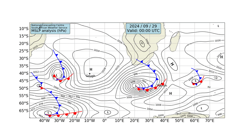
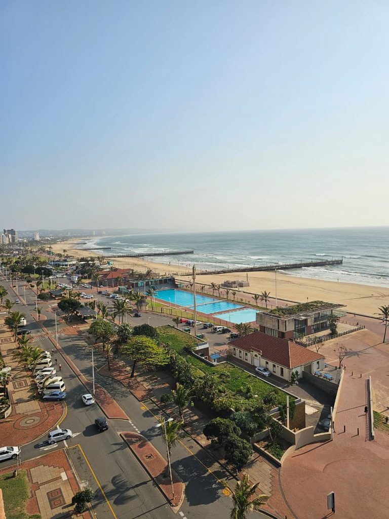
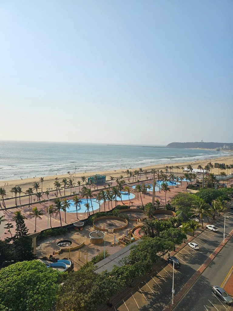
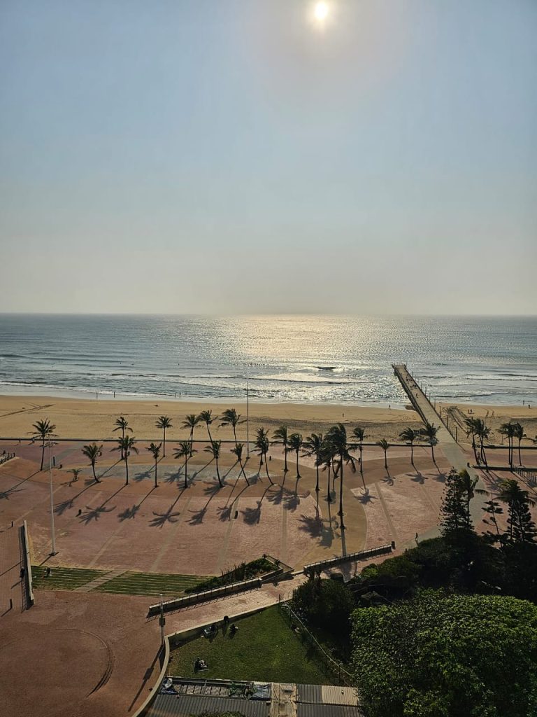
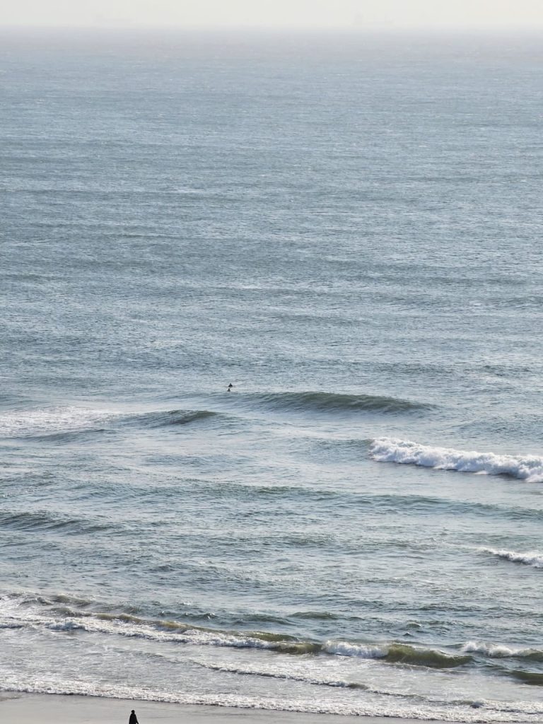
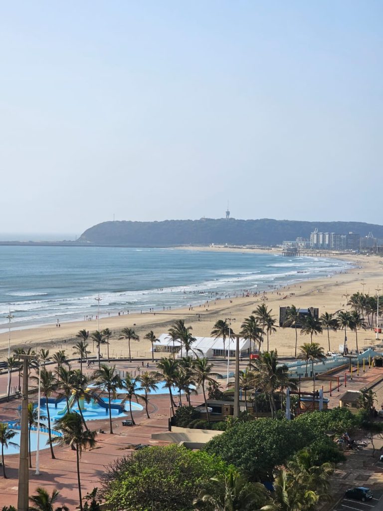
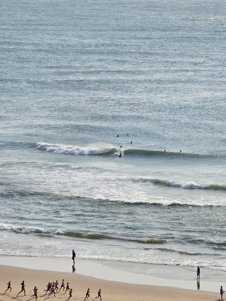
Today is a prime example. ALL the forecaster preached doom and gloom for today Sunday 19 September 2024. Many, many people cancelled their weekends down the coast or on the beachfront. So far, there is no rain at all. The sun is shining through. And a lovely and friendly SW wind is building on the outside. Painting the ocean pretty. In Durban on the delightful beachfront , surfers are surfing, bathers are bathing…and you can even catch a sun tan – for now. Maybe even a fish if you are in the right spot.
Water has dropped to 19 degrees Celsius.
It is NOT raining in Mdumbi either (deep Transkei Wild Coast). But there are clouds darkening and building in the south. They are desperate for rain down thataway so for their sake, let it pour tonight. And stop tomorrow!
ENJOY THE BEAUTIFUL DAY!
Durban 8am
Sardines n Sighting Maps
It has been a fantastic sardine run this memorable 2024. And all the action has been logged right here on The Sardine News. This year’s map has been viewed 182,000 times and keeps growing.
Which led us to decide to keep the map live. And keep adding unique marine animal sightings and events. That occurs non-stop all year round. This year we started to log more whale and dolphin sightings. And we even had a shipwreck! And a freaking tornado!
These events will from now on be included in the Sardine News Sightings Map for 2024. And on the 1 January 2025, we shall start all over again.
Here are the links to existing and past Sardine Sighting Maps. Great for chilly day like today to research. With instructions to install The Sardine News right on your phone or desktop.
2024 Sardine Map
2023 Sardine Map
2021 Sardine Map
Channels
Brucifire Surf Retorts – highly entertaining surf reporting
Master Watermen – news from way down deep
The Sardine News – neva miss a single sardine
FishBazaruto – 1000 pounds plus
MYDO Tackle Talk – highly technical sport fishing
Surf Launching Southern Africa – getting out there safely
Water Woes – complain about your municipality here
Websites
umzimkulu.co.za – self-catering right on the Umzimkulu River
umzimkuluadrenalin.co.za – will get you right onto the edge
thesardine.co.za – never miss a single sardine or storm warning
masterwatermen.co.za – news from deep down
brucifire.co.za – surf and conditions reporting
fishbazaruto.com – your dreams are out there
mydofishinglures.co.za – technical sport fishing

